MESSIR-SAT / SATELLITE IMAGERY
MTG COMPLIANT VERSION
TO BE RELEASED SOON
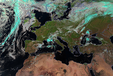
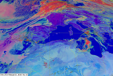
Satellite imagery is an essential tool for the forecaster, for weather analysis, monitoring and nowcasting. It helps detect and forecast high impact weather, such as thunderstorms or fog. Allowing to locate the main cloud masses (storm systems, tropical cyclones ...) and to identify the type of clouds.
MESSIR-SAT is:
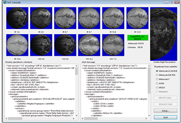
- a system with hardware and software, able to acquire, process, store and display satellite imagery.
- processing METEOSAT, EUMETCAST, MTSAT, Himawari, GOES, INSAT satellite images.
MAIN FUNCTIONS
- imagery acquisition, either from a parabolic antenna or from a FTP server.
- acquisition of other data flow as MDD.
- storage in database.
- display and animation of satellite imagery, integration with other data types.
- production of images for end-users.
- dissemination to web servers, other workstation, servers, ...
STRONG POINTS
- intuitive look-and-feel system.
- compliant with the EUMETSAT EUM TD15.
- wide range of options to display your data and make it visually striking.
- MESSIR-SAT can be implemented in a hot stand-by pre-processing acquisition server's configuration, or in a simple workstation for display.


